

News
Events
23rd-24th
13th
April, 2024
Bluesky will be attending the fifth year of the “Trees, People and the Built Environment” event held at Edgbaston Stadium, Birmingham.
14th
13th
May, 2024
Bluesky will be at the Esri Annual Conference, the UK’s largest GIS event, held at the QEII Centre in London.
21st
13th
May, 2024
Bluesky will be attending the 2024 GeoPlace conference in the iconic Old Trafford Stadium, home of Manchester United.
5th-6th
13th
June, 2024
GEO Business 2024 will host 120 global brands and cutting-edge start-ups. Bluesky will be exhibiting at event at the ExCel in London.
19th-21st
13th
June, 2024
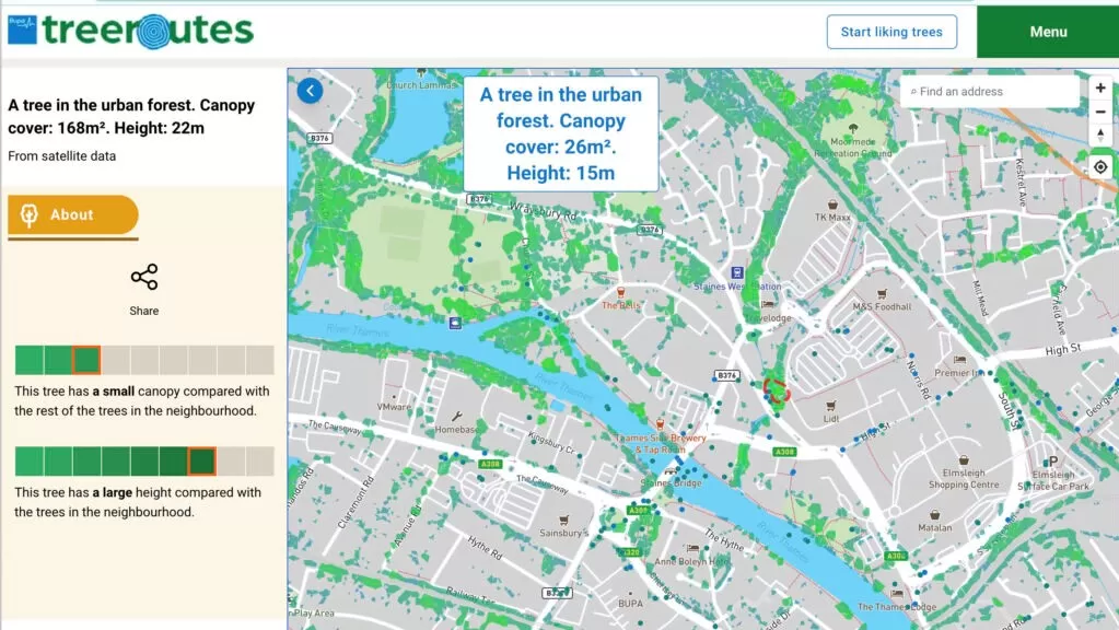
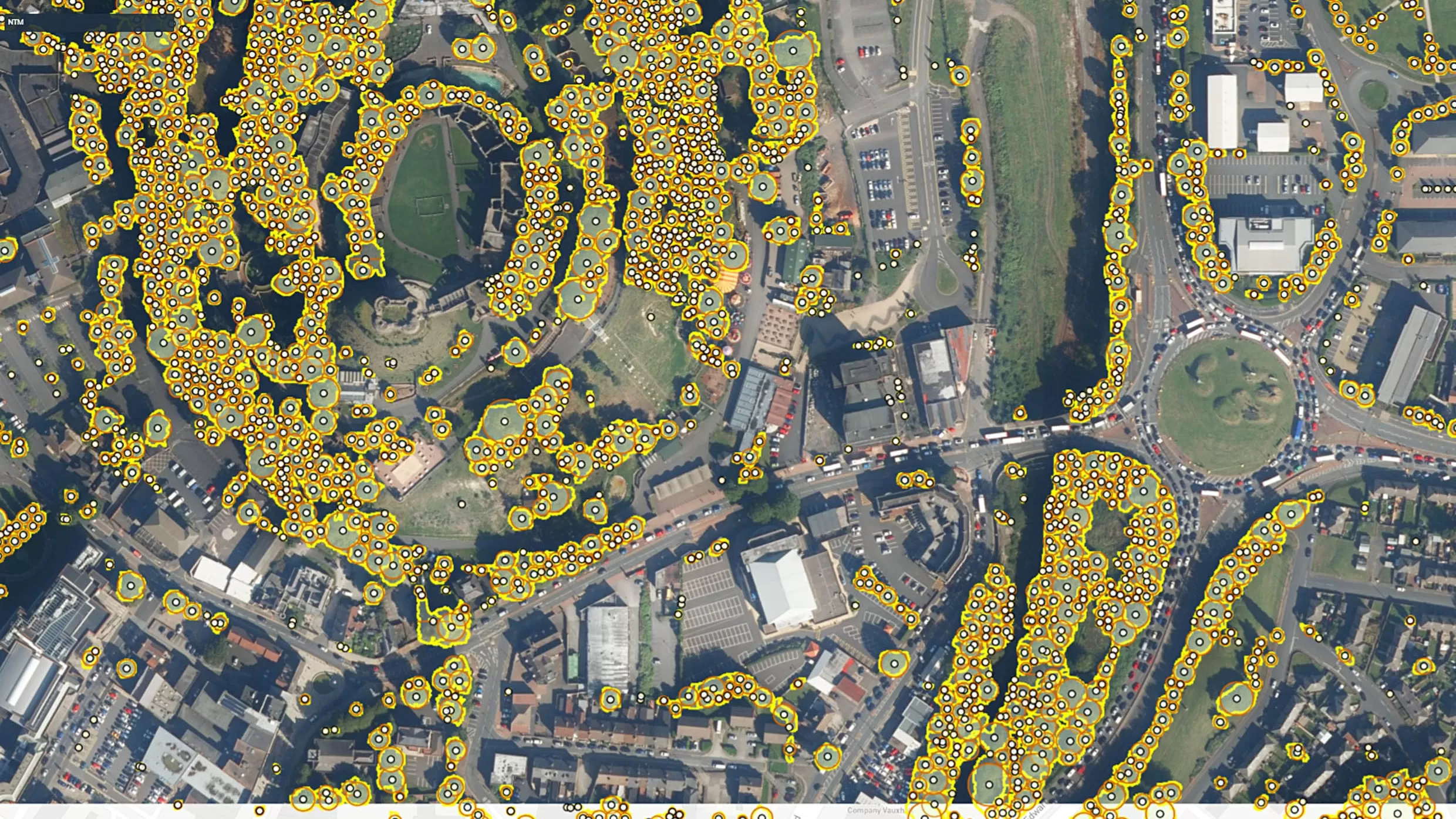
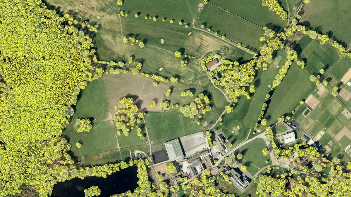
Bluesky are exhibiting at the 4th annual i-Tree Conference and Urban ReLeaf Conference at the University of Dundee.
19th-22nd
13th
Nov, 2024
Bluesky will be attending EAASI’s annual summit in November, location to be confirmed.